
METROCOL Colombia
- EcoMetrologia

- Oct 3, 2025
- 10 min read
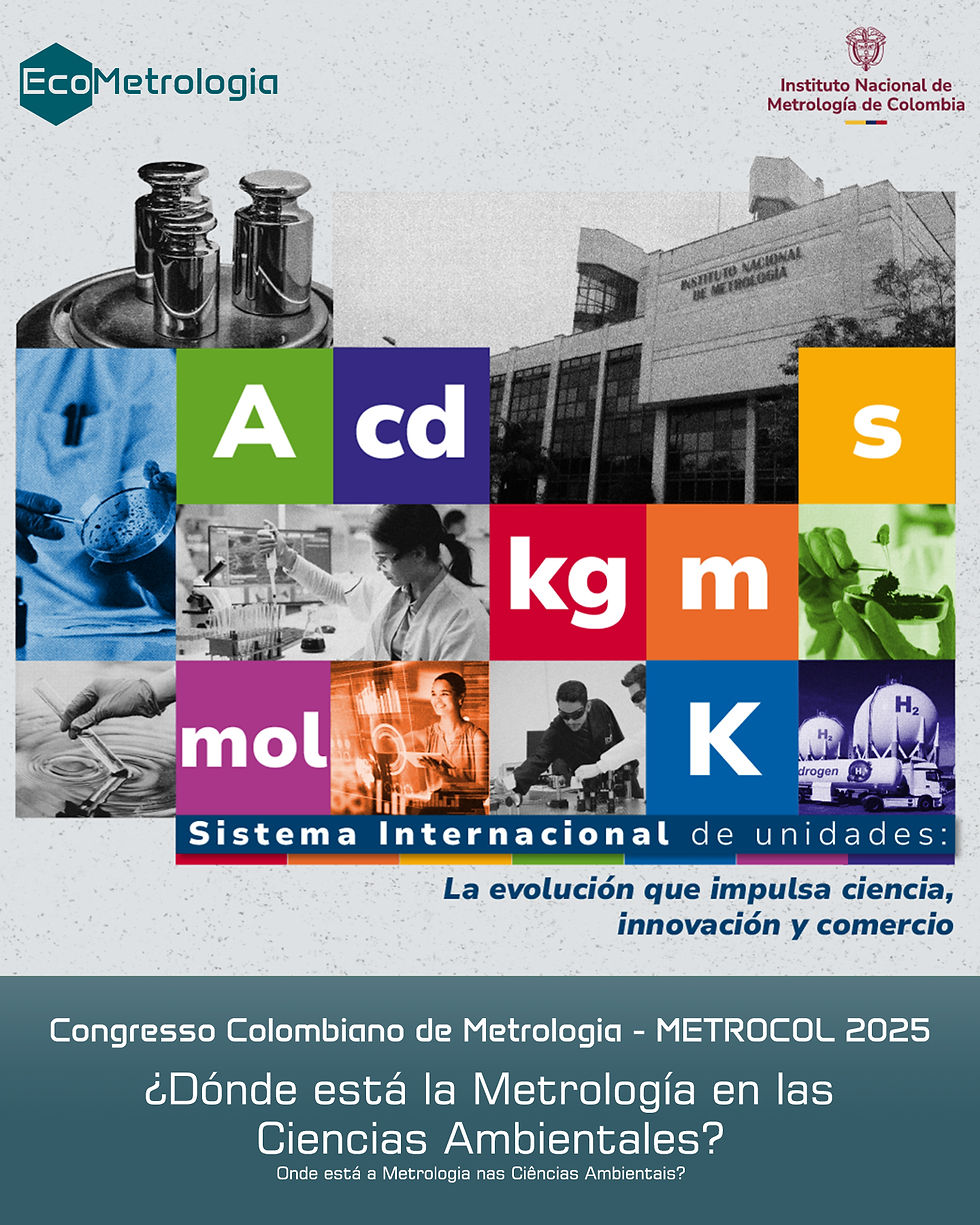
COLOMBIAN METROLOGY CONGRESS
NATIONAL INSTITUTE OF METROLOGY OF COLOMBIA
(Text of the presentation given on October 2, 2025, at the Colombian Metrology Congress - Metrocol)
Good afternoon everyone, my name is Maximiliano Gobbo, and today I'm sharing a little about my work, which I developed at the National Institute of Metrology, Quality, and Technology (INMETRO) in Brazil. Before continuing with the presentation, I'd like to tell you a little about myself. I have a degree in Biological Sciences, a specialization in Environmental Expertise and Auditing, a master's degree in Metrology and Quality, and a PhD in Sciences. I'm also a dreamer.
When I entered college, I learned about the Theory and Model of Anthropogenic Biomes. For those unfamiliar, Anthromes are subdivisions of terrestrial biomes based on correlations between geospatial information on population and land use and cover. Its applications range from analyzing population distribution across a territory to historical analyses of territorial changes, such as deforestation, urbanization, and urban-rural planning. At the time, in 2012, the model was still little known globally, and in Brazil, we had not yet published anything on either the model's application or its theory.
In 2014, I ventured toward a still-latent dream: to gain in-depth knowledge of anthropogenic biome theory. To this end, I applied for an exchange program in Italy and pursued a master's degree in Human Ecology at the University of Rome Tor Vergata. The dream took shape, and I understood the foundations of the anthropogenic biome model. After a year, I returned to Brazil with my undergraduate thesis and began working toward a regional model of anthropogenic biomes. The idea of regionalizing the model arose when I realized that the global model didn't allow for a clear recognition of the national territory, making it impossible to apply it as a model for developing research, public policies, and land-use studies nationwide.
I received many rejections because the model wasn't applied in Brazil and no one knew the theory, so it was difficult to get into graduate school to pursue my dream. Then, in 2018, I met my advisor, Professor Thiago de Oliveira Araujo, and my mentor, Professor Claudia Salema, at INMETRO. Even without fully understanding my dream, they embraced the idea and guided me on the path to completing what we now call the Regional Anthromas Model. In this conversation, I will introduce you to the path to achieving the model and how Metrology integrated each stage of my work, considering that I worked in the cradle of metrology and quality in Brazil.
Now that you know about the dream I realized, we need to consider some technical aspects. As you know, Biology only became part of the BIPM in 2015 within the Chemistry Committee (CCQM). To this day, what we have in applied metrology in the field of biology deals with biological compounds, enzymes, proteins, and measurements associated with these areas. Thus, we see that there is nothing directly associated with Human Ecology, Geosciences, and Territorial Planning. However, in the literature, we find some indications of this movement—the integration of metrology into other areas of knowledge, aiming to bring reliability to our existing environmental practices. This idea aligns with sustainable development initiatives and the protection of the environment and human and non-human populations. My work was developed with this in mind.
To design the anthromas model, I needed two primary data points: population data and land use and land cover. These data are currently produced by the Brazilian Institute of Geography and Statistics (IBGE) in Brazil. Despite the reliability of the data produced, we developed a technical framework to attest to the quality of the data and the methods that generate them. This framework was based on ISO/IEC Standard 17025, specifically the method validation parameters (item seven, point two, point two of the standard) and the tools for ensuring the validity of results (item seven, point seven, point one of the standard).
Both instruments would serve to assess the suitability of the methods for their intended uses—that is, to assess whether the methods met requirements that demonstrated their efficiency and effectiveness in producing demographic and land use and land cover data. To transpose the items from the seventeen-zero-twenty-five standard to the methods that produce these data, we conducted a detailed study of the methods used by the IBGE and compared them with other global methods used to produce the same types of data. Based on aspects consolidated in the literature, we were able to establish criteria for evaluating the methods that produce demographic data and land use and land cover data.
With these criteria defined and equipped with the manuals for critical analysis of results—material we developed by transposing the standard into methods—we analyzed the national demographic and land use and cover data and methods. We found that different practices used by the IBGE demonstrated metrological care in producing results for both types of geospatial information. Meeting the requirements of the guides to ensure the validity of results supported the application of demographic and land use and cover data, both produced by the IBGE, in the regional modeling of the anthromes. Some attributes of these data that also contributed to their use in the modeling were: the quality of the geospatial information and the reduction in the coverage area and scope of the data, allowing for improved resolution in the mapping of the anthromes.
With the data analyzed, we moved on to building the anthrome model. From this stage on, we began using R software as our work tool. I'll be sure to point out that at the end, I'll share with you the GitHub and RPubs where our work is available. Our objective was to produce a replicable and reproducible model in different territorial and temporal contexts.
As discussed previously, we had two datasets that underpinned our regional model: demographic data and land use and land cover data. We constructed the maps of populated anthromes and land use and land cover anthromes separately, in order to assess in advance whether the data would meet the geospatial requirements for spatializing geographic information and whether they responded efficiently to metrological parameters to ensure mapping quality. The requirements we established focused on mapping error and uncertainty. According to the geoprocessing literature, these two parameters are associated with the ability of an analytical method to reach a target in real space; in other words, a map must reproduce what actually exists in that territory, whether it be a population or vegetation cover.
Below, I've provided a summary of each of the analytical steps performed in R. I won't present the entire code because that would take time and some might lose interest (laughs). Therefore, I will briefly summarize the processes and suggest, if interested, accessing the full code through our communication channels. Considering demographic and land use and land cover data separately, we performed the following analyses in R:
Exploratory analysis: This aimed to identify the profile of the vector data and shapefiles (data representing polygons over the territory) and identify the structural information that would be relevant for regional modeling.
Data mining: This is where we began fragmenting the dataset to fit the anthrome model structure. In this step, we divided the data based on their constituent characteristics. In this step, we established how to classify the demographic, land use, and land cover data within the different terrestrial anthrome profiles.
Data merging and plotting: After processing the data and defining their specificities for anthrome modeling, we merged the regional anthrome categories and generated a single plot. It should be noted that the plot is a Cartesian representation of the point distribution, not a mapping per se. The plots represent the categories of populated anthromes and land use and land cover anthromes.
Static mapping: Once the point distribution was confirmed, we moved on to creating the maps themselves. First, we created the static maps to visualize the populated anthromes and land use and cover model on the cartographic plane. I didn't mention it before because it wouldn't be as easy to visualize, but our test area was the State of São Paulo in Brazil, due to its population, economic, social, political, cultural, and environmental significance. Therefore, as a basis for the static mapping, we used a shapefile of the state, extracted from the IBGE (Brazilian Institute of Geography and Statistics), which contains the municipal boundaries. Data related to the populated anthromes and land use and cover categories were projected onto this file separately.
Interactive mapping: Using the same data, we produced interactive maps of the populated anthromes and land use and cover separately. Unlike static mapping, we used the Open Street Maps cartographic database as a basis for creation. This is a global collaborative project that allows for free map creation. This database is available for use in R software, and any user can access the geographic information. That said, we structured the interactive mappings following the same logic, overlaying data from populated anthromes and land use and cover on the database.
Mapping validation and uncertainty study: Using the mappings produced, we performed various statistical analyses to ensure the quality of the generated products, including metrological ones. As we understand it, for the quality standard of a product, we typically use a gold standard, which can be a Certified Reference Material or a Reference Material. Since we don't have either of these for the environmental sector, we considered the raw data from the IBGE (Brazilian Institute of Geography and Statistics) as the gold standard—that is, the data we evaluate through the correlation between methods and results with the parameters of Standard 17025.
Our first analysis was a statistical grid. We divided the gold standard mappings, the populated anthromes, and the land use and cover anthromes into four hundred quadrants (a twenty-by-twenty grid). The goal was to understand whether the points in the mappings we generated aligned with the gold standard points. For vector data, we actually considered the points; On the other hand, in the shapefile data, it was necessary to consider the number of polygon vertices in each quadrant of the statistical grid. As we observed, there were some discrepancies between the gold standard and our data, which would indeed affect the quality of the information.
To better understand where these discrepancies lay, we structured a confusion matrix. Using it, we established true positives (equal number of points between the gold standard and the anthroma data), true negatives (quadrants with no points from the gold standard or anthroma), false positives (quadrants with fewer points from the gold standard than the anthroma data), and false negatives (quadrants with more points from the gold standard than the anthroma data).
Once the confusion matrix was structured, we performed sensitivity, specificity, accuracy, and overall error studies, following the analytical frameworks expressed in the seventeen zero twenty-five standard and the Guide for Expressing Measurement Uncertainty.
Our results with the populated anthroma model were a sensitivity of 99.52% (ninety-nine point fifty-two percent) and a specificity of 98.96% (ninety-eight point ninety-six percent). Therefore, we obtained an accuracy of 99.25% (ninety-nine point twenty-five percent) and an error of 0.75% (zero point seventy-five percent).
In contrast, in the land use and land cover anthrome model, we achieved a sensitivity and specificity of 100% (one hundred percent), which resulted in an accuracy of 100% (one hundred percent) and an error of 0% (zero percent).
After all these analyses, we resumed mapping. The next step was to unify the two mappings into a single model, that is, to structure the regional anthrome model. Since the land use and land cover anthrome model is based on polygonal data (shapefile), we used it as a blueprint for overlaying the demographic data. This correlation did not involve data manipulation, only the overlay of the data based on geographic references, so as not to influence the metrological performance of the two models separately. As with the global mapping, the demographic and land use and land cover data were treated separately because they have very distinct characteristics, but they can be correlated to generate the anthrome mapping.
With the regional mapping of the anthromes, we reached the final point of our work. Through it, we conducted a territorial planning study, which is a comparison of what is required by the national legal system in terms of territory, civil, environmental, and population, and what is visible in the mapping of the regional anthromes. If the mapping allowed the identification of these features, it would be a promising tool for territorial planning analysis. To this end, the mapping resolution needed to improve, that is, it needed to provide a better visualization of the Brazilian territory.
In summary, we made some comparisons guided by the legal system: 1. traditional communities and environmental preservation and conservation areas; 2. settlement projects and preservation and conservation areas and sustainable use forests; 3. conservation and preservation areas and sustainable use forests and agricultural and livestock areas; 4. watercourses and other land uses: border areas, coastal areas, preservation and conservation areas and sustainable use forests, and population clusters. 5. Agricultural villages, rural centers, and rural settlements associated with agro-industrial production circuits. 6. Isolated urban areas and metropolitan regions or cities. 7. Isolated urban areas and agricultural and livestock areas and green areas. 8. Artificial and urban areas and their surroundings.
All these relationships were analyzed through interactive mapping of regional anthromes. The visualization pattern, that is, its proximity to the territorial reality, allowed the identification of features that reflected the legal and spatial relationships established in the Brazilian context. With these analyses, we were able to demonstrate the applicability of the mapping and its function as a territorial planning tool. All of this was possible because, through the regional model, we were able to reduce the data coverage area to approximately forty-six point ninety-eight kilometers wide by eleven point seventy-eight kilometers high. When compared to the global model, we achieved a significant improvement in the portrayal of local reality, allowing the visualization of all the correlations discussed so far.
That said, I would like to introduce some of the platforms on which the EcoMetrology Project operates: the website, social media, GitHub, and RPubs. All of these platforms are open and can be accessed by any user, including both the instructional materials and the codes for replicating and reproducing the regional anthrome model.
I thank everyone for their attention and hope you enjoyed it. Our goal was to demonstrate that there are research avenues to be explored in metrology and that we, as metrologists, can contribute to technical and scientific development in a wide range of fields. If time permits and anyone is interested, I'm available to answer questions. Many thanks to the organizing team of the National Metrology Congress of Colombia and thank you for providing the opportunity to share my work.
Watch the video: https://www.youtube.com/watch?v=BNWvG7RJOcU


Comments